 MONITORING TOOL
Common Monitoring Approach for Marine Protected Areas
TO WHOM IS ADDRESSED?
Marine Protected Area (MPA) managers, scientistsTHEME
Ecosystem approachKEYWORDS
Human activities, Marine Protected Area, monitoring, MPA

WHAT PROBLEM WOULD THIS SOLVE?
Mediterranean MPAs are in need of data to identify key pressures, to understand the effects of human activities, plan concrete actions to protect coastal and marine ecosystems, and monitor the effectiveness of the protection measures implemented. To address this need, the AMAre project adopted a common monitoring approach to assess the effect of human stressors on three specific habitats: Cystoseira spp., Posidonia oceanica, and coralligenous formations.

WHAT IS NEEDED FOR IMPLEMENTATION?
Technological infrastructure
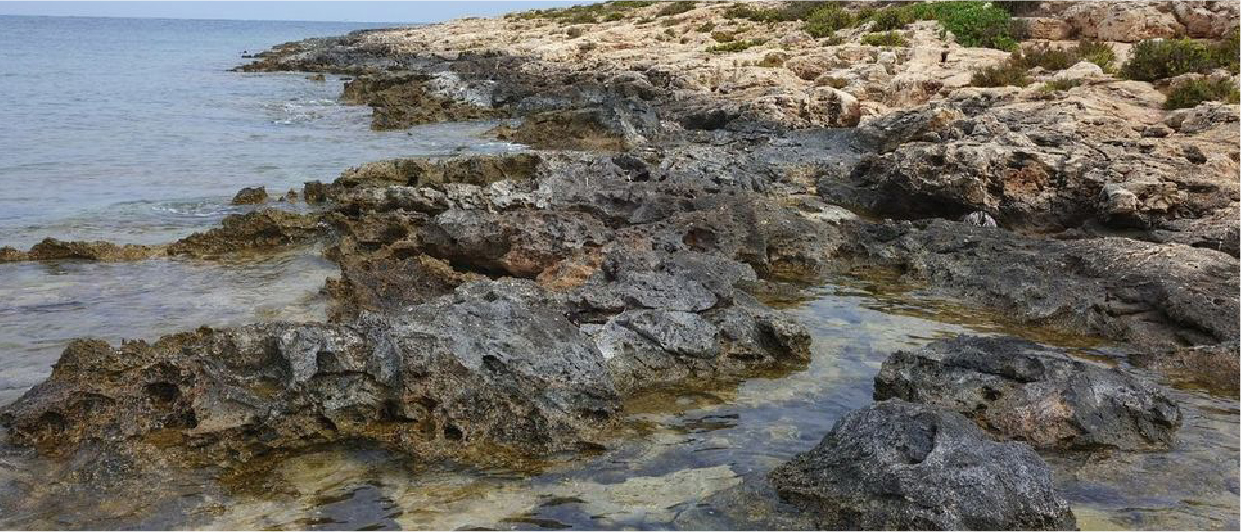
The common monitoring of the three habitats does not require very expensive or significant technological infrastructures. The automatic acquisition of biological data by specific sensors and robots is under study in many EU projects and will be the future challenge in the framework of the Blue Growth, in keeping with the Marine Strategy Framework Directive (MSFD) vision. At the moment, welltrained MPA staff focusing on a few response variables (macroalgal and seagrass canopy cover, Posidonia shoot Pilot areas Common Monitoring Approach for Marine Protected Areas Monitoring tool Porto Cesareo (Italy) Maltese Islands (Malta) Torre Guaceto (Italy) Balearic Islands (Spain) Photo by: AMAre AMARE This tool is part of a Mediterranean Toolkit for Biodiversity Protection developed by the PANACeA partnership: density, cover and number of conspicuous species and functional groups in coralligenous formations) can provide the solution to ensure MPA monitoring. These response variables can be assessed by visual estimates, macrophotographic records and video by ROV.
Training
Training activities are recommended for MPA staff to continue with the direct monitoring, based on continuous interactions with research institutions and environmental agencies that can also support data acquisition and analyses.
Investment
Recent large-scale assessments showed that MPAs often lack of budget dedicated to monitoring. In the Management Plan, the costs of monitoring should be included and constant (operating) external financing should be ensured to support long- term monitoring. In addition, a greater exchange of information between MPA managers and MSFD managing authorities to be fully aware of each other’s monitoring objectives, plans and actions is largely advised to optimise costs.

HOW TO USE IT?
Concept
Monitoring is an integral component of marine area management because it provides the data required to evaluate changes in marine habitats and species as a result of the implementation of MPAs. All MPAs should have monitoring sites to track changes in vulnerable species/habitats, inside and outside MPAs. Methods should be consistent across MPAs to yield comparable results. Monitoring should not be confined to the biological components. It should be linked to environmental variables, human uses and to the socio-economical benefits coming from managing MPAs.
Recommended implementation frequency
One sampling date (May-June) is often enough to support long-term monitoring on biological variables.

WHAT CHALLENGES MAY ARISE?
The challenge is to have a network of protected sites that are monitored using the same approach to common response variables within the framework of the MSFD. There is still a clear challenge in reaching a threshold between overall scientific relevance, the need for (EU) legislation without compromising interoperability at the Mediterranean level, and the feasibility when defining the variables to be monitored. Sharing this information is also challenging since it requires more communications among MPAs managers and dedicated platforms.
Pilot areas
Freus d’Eivissa i Formentera – Balearic Islands (Spain); Porto Cesareo Marine Protected Area (Italy); The North-East Marine Protected Area – Maltese Islands (Malta); Torre Guaceto Marine Protected Area (Italy).

WHAT ARE THE EXPECTED RESULTS?
Quantitative results
At present, MPAs managers are often not aware of the current status of their protected areas and the efficacy of conservation measures. Fine- scale, quantitative information provided through monitoring is crucial to inform management about the effects of protection and the sustainability of human uses. This quantitative information should be gathered by using appropriate sampling designs with the necessary statistical power to detect ecologically, economically and socially relevant changes compared to external, non-protected areas.
Transfer potential
The Interreg project AMAre (https://amare.interreg-med. eu/) is showing that close collaboration between scientists and the MPA managers is leading to in-depth knowledge on the distribution of biodiversity and on the distribution of human uses, through the creation of a spatial geoportal that can be used within each MPA and across MPAs. This is a good example of the tools suggested to increase and share knowledge and support monitoring in MPAs.
For further information
Project contact: AMAre
Links of interest
Partners
- Corsican Agency for Environment (OEC)
- Euro-Mediterranean Centre on Climate Change – CMCC
- French Research Institute for Exploitation of the Sea, Department of Oceanography and Ecosystem Dynamics (IFREMER)
- Hellenic Centre for Marine Research
- Management Body of The National Marine Park of Alonissos Northern Sporades
- Management Consortium of Torre Guaceto
- National Research Council, Institute of Marine Science – CNR-ISMAR
- Regional Government of the Balearic Islands – Department of Environment, Agriculture and Fisheries
- Spanish National Research Council (CSIC)
- University of Malta


