
EcoSUSTAIN
Achieving a joint state-of the-art water quality monitoring systemProject presentation
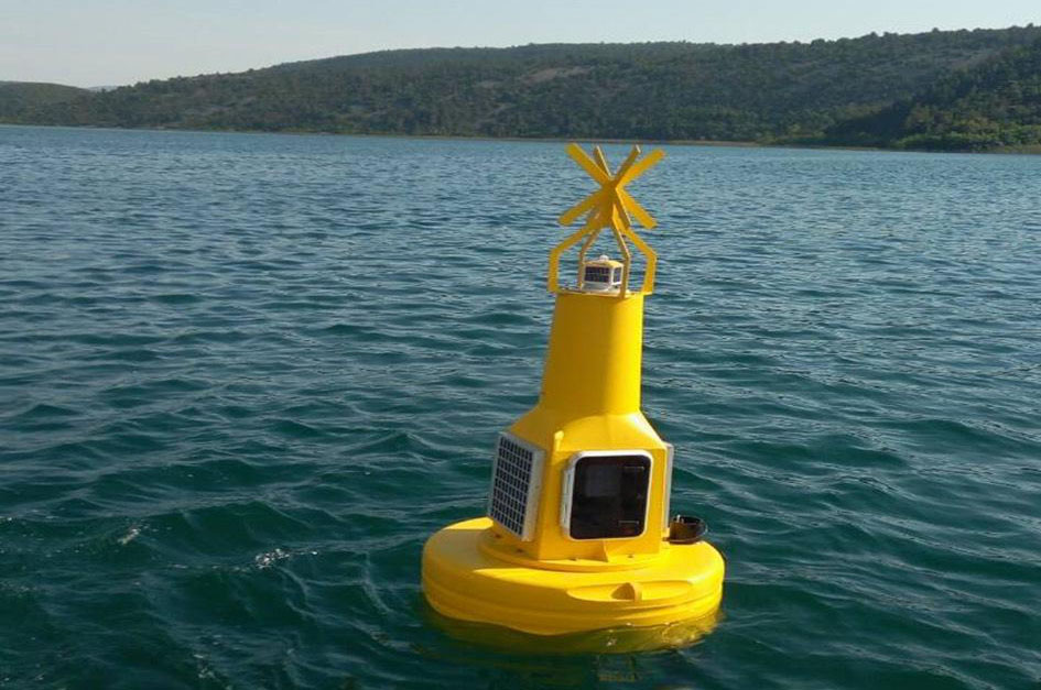
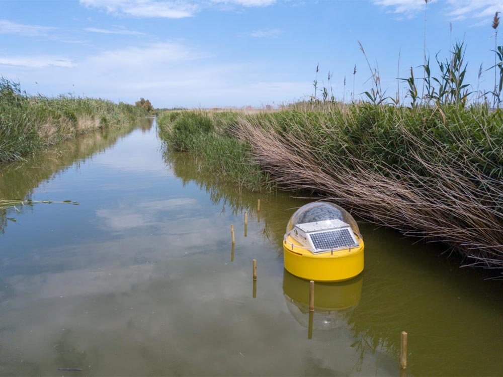
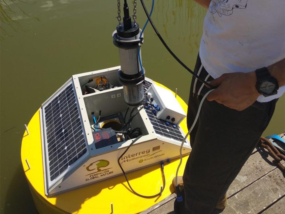
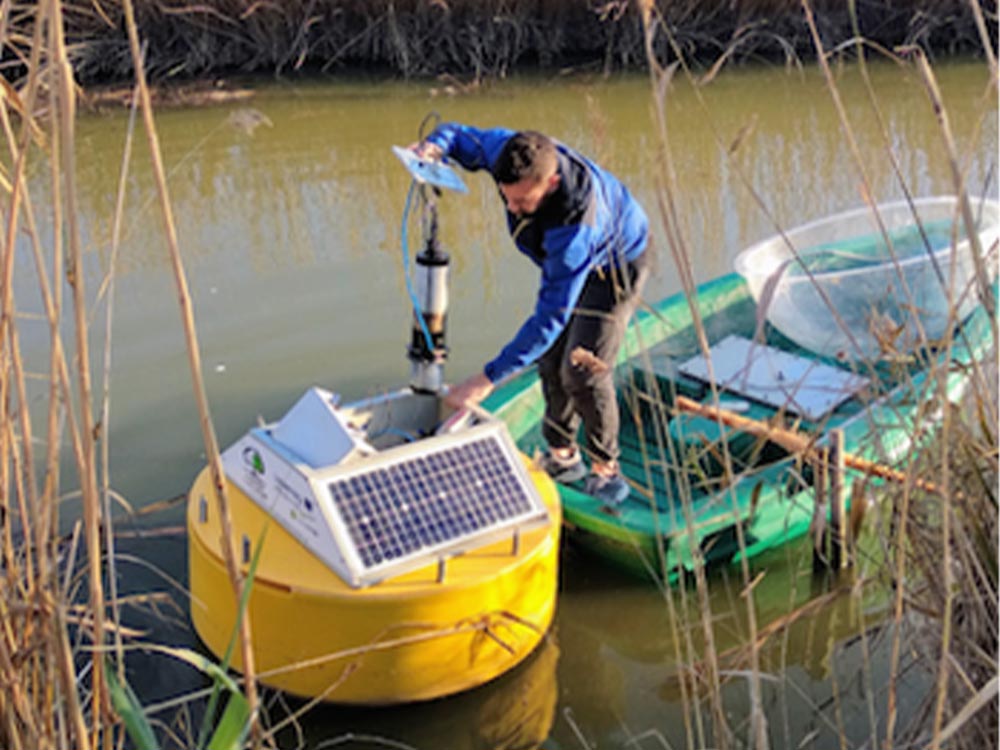
EcoSUSTAIN represents joint transnational action towards maintenance of biodiversity and natural ecosystems by means of stronger management and networking of protected areas obtained through capacity building, innovative technologies and improved management knowledge base. Management and networking of protected areas will be improved by capacity building activities and pilot implementation of innovative water quality monitoring solutions in several protected wetland locations across the programme area. Water quality monitoring will be improved by means of state-of-the-art ICT technology providing live, early warning messages directly from a sensor-equipped buoy, or by means of long-term monitoring based on satellite imagery processing. The primary end uses of the monitoring systems will be management bodies of the protected areas involved in the pilot activities. However, by means of transferring actions in the project and sustainable results, secondary end users will be other management bodies of protected areas across the Mediterranean.
The overall objective of the action is to improve monitoring, management and networking of protected areas through supporting scientific, technical and management knowledge in order to tackle the problem of incoherent and segregated management of protected areas as self-sustained units, which is believed to hamper protection and promotion of Mediterranean natural resources, as well as maintenance of biodiversity and natural ecosystems.
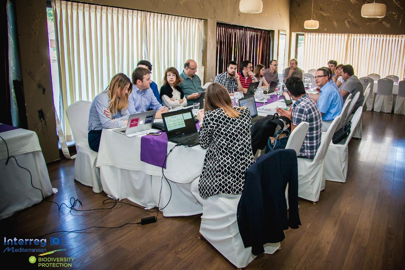
Partnership
Lead partner
University of Rijeka, Faculty of Maritime Studies (Croatia)
9 Partners
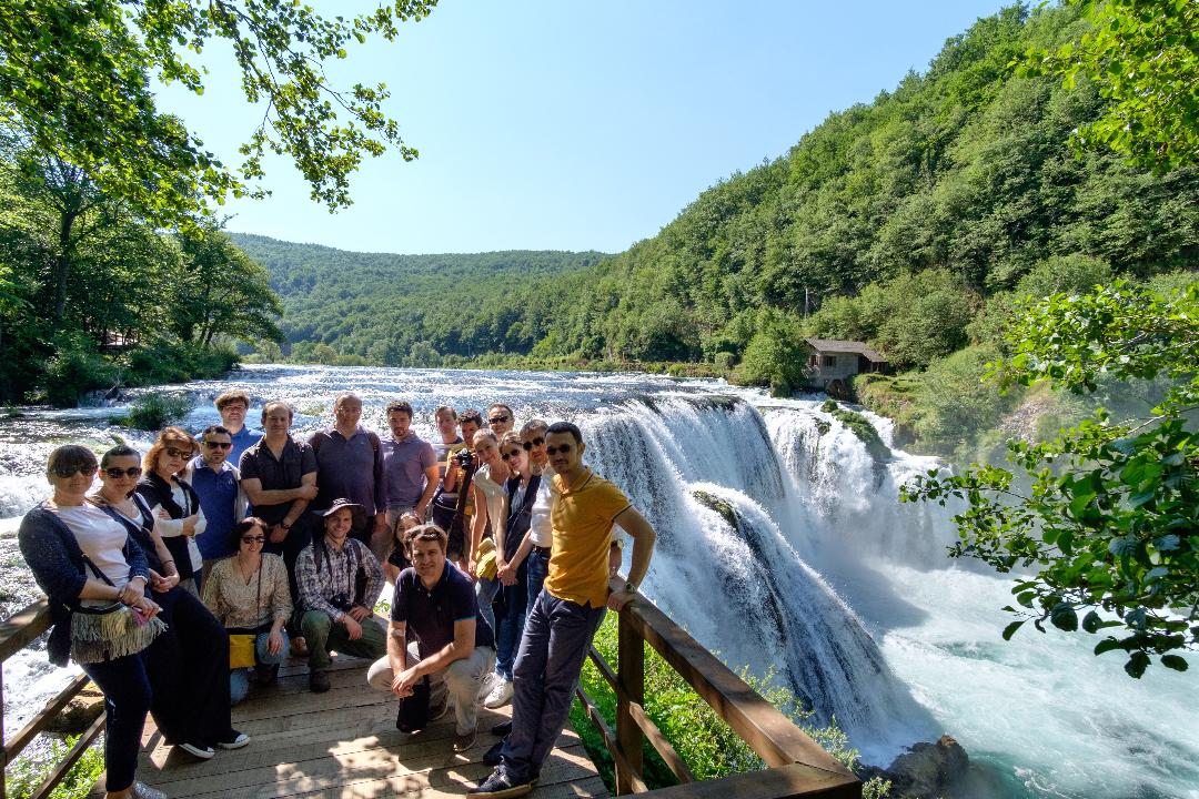
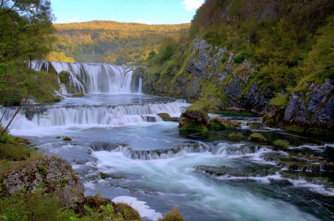
5 Pilot sites
5 Countries
Key messages
For managers
- The main goal of EcoSUSTAIN was the maintenance of biodiversity and natural ecosystems employing more robust management and networking of protected areas;
- Efficient management of protected areas can be achieved with innovative, concrete, sustainable and transferable tools and methods that the project will implement;
- Improving management means including a knowledge base and specification of a joint monitoring methodology.
For policy
-
The EcoSUSTAIN project has generated strengthening of integrated management, cooperation, and networking between protected areas;
-
Networking of protected areas needs to be strengthened by supporting more intensive cooperation between competent public authorities and key stakeholders, including local communities and associations.
-
Networking and harmonization of the practices make sustainability policies more effective
For science
-
The Mediterranean region heavily depends on natural ecosystems: they are essential drivers for socio-economic development, quality of life and wellbeing of citizens, territorial attractiveness, and consequently, the economic value of the entire area;
-
The pilot action of the project have worked on the implementation of live water quality monitoring, leading to improved conservation status.
-
Outcome of the project was the implementation of an action plan, water monitoring software for long and short-term solutions.
Achieving a joint state-of the-art water quality monitoring system

To increase management capacity of protected areas involved in the pilot activities of the EcoSUSTAIN project, developed joint state-of-the-art water quality monitoring systems. However, using transferring actions in the project and sustainable results to other protected areas across the Mediterranean.