
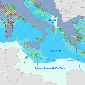
Maps and spatial data
Where is the Mediterranean Biodiversity Community present?
More than 239 organizations are involved in 16 Interreg Mediterranean projects related to biodiversity protection in the Mediterranean at various scales. Through our map viewer you will be able to locate the institutions involved, from public authorities, to research institutions and protected areas.
Information concerning the geographic areas of work and data collected by these projects is also available through our map viewer, with over 150 entries available from our spatial data catalogue addressing biodiversity species, pressures, impacts, governance and more.
To put you into context, we have collected key external data on biodiversity and ecosystems, like the map of Protected Areas or ecologically important areas in the region, accessible through our Catalogue. So you can create and export your own map by combining the projects’ information with other external data in the catalogue of interest to you.
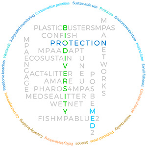
The MBPC project partners
The partners in the Mediterranean Biodiversity Protection Community of Projects (2016-2021)
Thematic maps
Data available on key topics tackled by our projects have been accessible through our thematic maps. These maps can combine data from our projects and external data by international bodies.